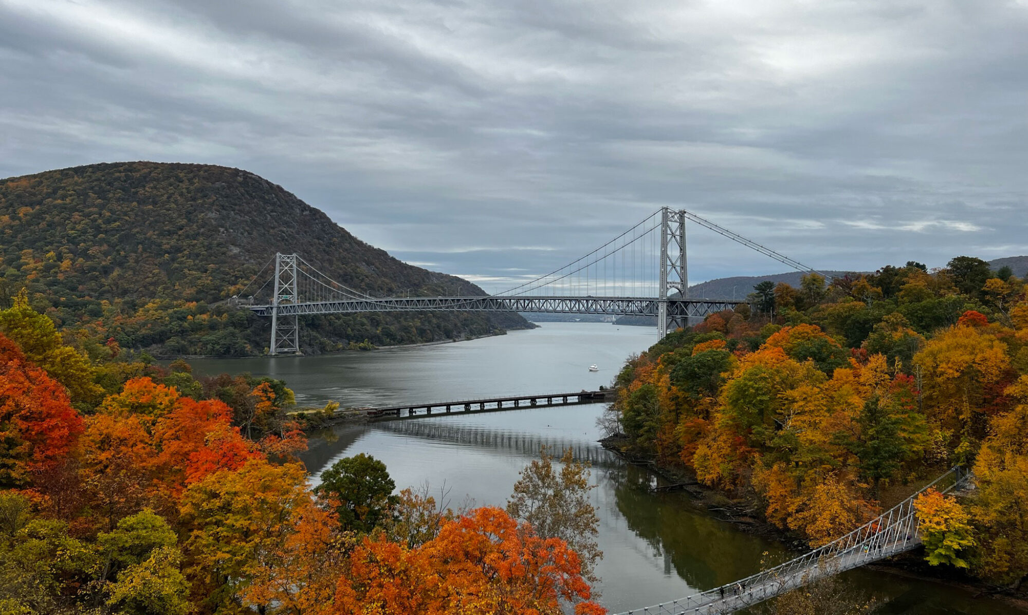
After publishing my second article sharing my adventure in Peekskill and offering recommendations to fully experience its beauty, I find it essential to share the tools I use for my explorations and how I gather information about them. My goal is to assist you on your own adventures.
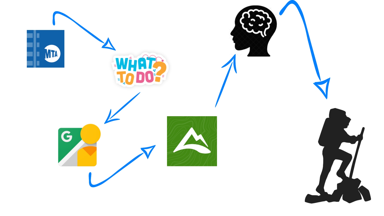
First and foremost, it’s crucial to remember that our most reliable travel companion for these initial journeys in Upstate New York is the Metro-North Railroad, along with its TrainTime app. So, let’s begin there.
Train Time (*)
- This app saves you a significant amount of time searching, so I strongly recommend having it on your cell phone. With it, you can access schedules, determine whether it’s peak or off-peak(**), follow the train route, identify its stops, and purchase tickets.
What to do in…?
- When I open the TrainTime app, I typically search for the final station of each route, allowing me to view all the stops along the way. This helps me explore ‘What to do in name of the train station.’ While you’ll usually find numerous activities in each city, my focus is primarily on outdoor activities, especially hiking.
Google Maps
- Who isn’t familiar with Google Maps? It’s an incredibly handy application when exploring new places. However, there’s a particularly helpful tool within it called “Street View.” This feature allows you to preview the route you’ll be taking, which can be especially beneficial if there’s a sidewalk along the way. In many residential areas, there may not be adequate walking space or a designated area for pedestrians on the road. I mention this because all my adventures are undertaken via train, and quite often, you’ll need to walk to reach your desired destination.
AllTrails (***)
- This amazing app provides hiking trails. With the free version, you can select a route, and the app will show your position relative to that route. This feature is incredibly helpful in preventing you from getting lost and also provides information about the route’s difficulty. However, please note that if you lose your signal, you won’t be able to access the map again. The paid version offers a solution to this issue by allowing you to download the maps, enabling you to access them at any time, even without an internet connection.
Common sense
- This is the most crucial tool you’ll need. It’s not an application or something that can be obtained digitally or in print. Instead, it’s your common sense, which is invaluable when transitioning from the virtual world to the actual hiking route. Exercise caution and avoid taking unnecessary risks, especially if access to a place seems highly restricted. Pay close attention to signage, and be aware that some areas may be private, potentially leading to legal issues if you trespass.
- Furthermore, it’s essential to show respect for the environment. Leave the area in the same condition as, or better than, you found it. Carry bags for your trash and refrain from disposing of ‘organic’ waste like fruit peels. Different natural spaces have their own unique ecosystems, so it’s best to hold onto such waste until you can properly dispose of it in designated garbage facilities.
I hope these tools prove useful for your adventures, and that nothing will hold you back when you decide to embark on new journeys.
(*) You can download TrainTime at App Store or Play Store.
(**) Peak refers to the rush hour and this has a higher price due to its demand, while its off-peak counterpart is a time of low demand and its prices are lower. The application tells you if the schedule you want to take is in peak or off-peak therefore, you know what price you must pay.
(***) You can download AllTrails at App Store or Play Store.